Understand the landscape. Decide together.
We’re building an ecological monitoring and deliberation platform for stakeholders, scientists, foresters and farmers. Bring reports, satellite imagery and field surveys together to understand change, discuss what it means and agree what happens next.
How it works
From observation to shared decisions.
Connect ecological observations with scientific evidence, local knowledge and the people caring for a place.
Demonstrated in site studies
Bring the records into one place.
Connect reports, surveys and field observations to the land they describe, with their dates and sources attached.
Source availability and permissions vary by site.
Reports · surveys · observations
A working landscape
Hooke Park: research in a working woodland.
At Hooke Park, about 140 hectares of working woodland provide a setting for developing and testing our tools. Repeated LiDAR surveys and field research reveal woodland structure across seasons and provide evidence for conversations about its future.
Explore Hooke ParkLandscape studies
Work with us
A shared view. An ongoing conversation.
For people who study, manage and depend on the land. Start with a monitoring pilot around your site, the evidence you already have and the questions you need to resolve together.
Monitor change
Compare surveys, satellite imagery and field observations across seasons. Read changes in canopy, water and habitat with the sources, dates and limits of the evidence in view.
Deliberate together
We’re developing a shared workspace where scientific findings and local knowledge inform discussion. AI helps organise evidence; people compare interpretations, uncertainties and priorities, then decide together.
Follow through
Our planned ongoing reviews connect new observations with agreed actions and record why decisions change. The first three years of regeneration are an initial focus, with surveys scoped to each site.
Field research · prototype
Built for work on the ground.
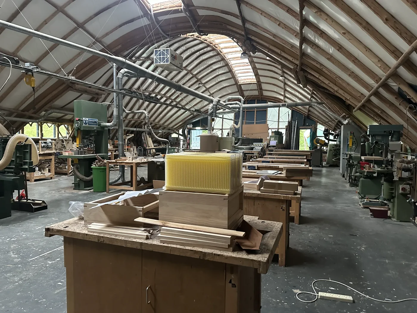
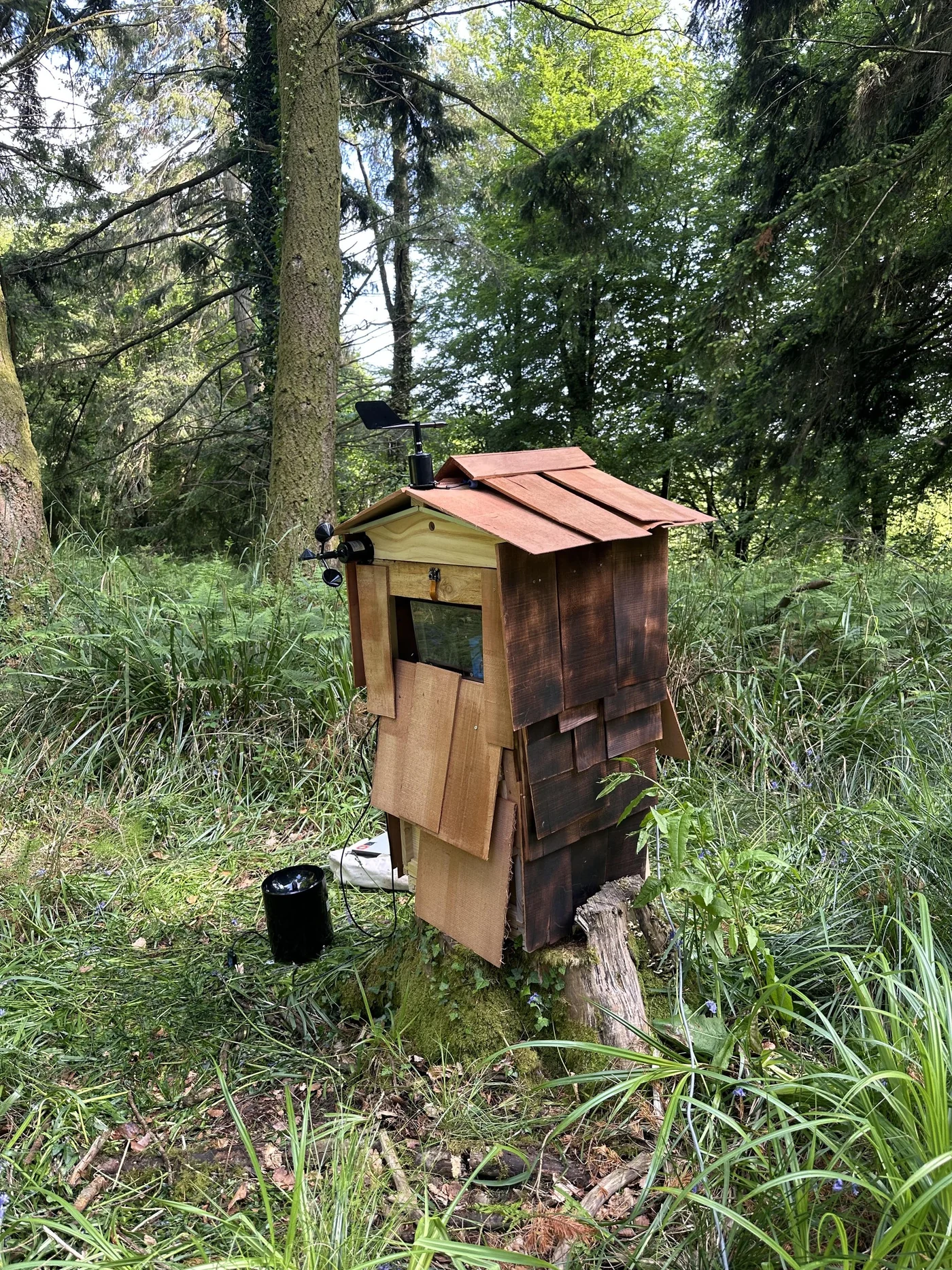
The Hive is our field-sensing prototype, built and deployed at Hooke Park. It connects hands-on making with the questions raised by landscape surveys.
Field prototype · calibration and integration in development.
Our Team
Built across landscape, technology and design.
Founder & CTO
Designer and programmer working across ecology, spatial design and AI, with over a decade of interdisciplinary practice.
LinkedInProduct Design Lead
Interaction designer shaping 3D, spatial and AI-powered experiences into tools people can use.
Portfolio
Bring a place and a shared question.
What is changing, who needs to be involved and what evidence would help? We’ll shape a monitoring pilot with your stakeholders, scientists, foresters and farmers.
Discuss a monitoring pilothello@cyberneticlandscapes.comPilot Projects
- Hooke Park, Architectural Association School of Architecture
- Las Huacas, Costa Rica